
Sinkhole Detection App Philippines Enhances Geohazard Mapping
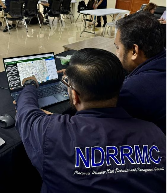
The Department of Environment and Natural Resources (DENR) has launched a new tool to help detect and monitor sinkholes across the country. The Mines and Geosciences Bureau (MGB) introduced a web-based application designed to automate sinkhole detection and strengthen disaster preparedness.
Developed by the Lands Geological Survey Division, the app combines manual and automated methods to identify sinkholes and assess karst formations, or limestone terrain that can collapse due to natural causes or human activity.
The MGB said the application is being tested in the Central Visayas region, an area known for its sinkhole-prone zones. It integrates manual digitization with automated geospatial analysis using satellite data to spot potential ground deformation.
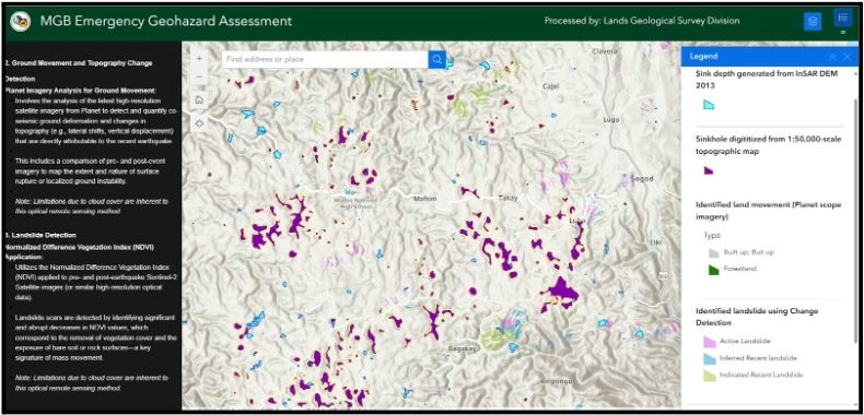
The system relies on topographic maps from the National Mapping and Resource Information Authority (NAMRIA) and satellite-based digital elevation models. These tools allow experts to track changes in terrain that may signal the early formation of sinkholes.
The goal is to improve accuracy in mapping and data collection, which are vital for local governments in land use planning and disaster response. With the help of this technology, authorities can pinpoint risk areas, issue early warnings, and guide development away from unstable land.
Once fully operational, the sinkhole detection app will be available for national use. It will support local and national disaster risk reduction programs by providing faster and more reliable data.
The MGB emphasized that using digital tools for geohazard mapping is part of its ongoing effort to enhance environmental monitoring and public safety. The project also aligns with the government’s goal to integrate technology into disaster management and climate resilience programs.
Source: MGB